New home on campus for TH&B’s Basin sculpture


McMaster University Library presents:
L.R. Wilson Hall (Concert Hall), McMaster University
June 13, 2018 at 6:00 PM
Open to the public, RSVP to reserve a seat.
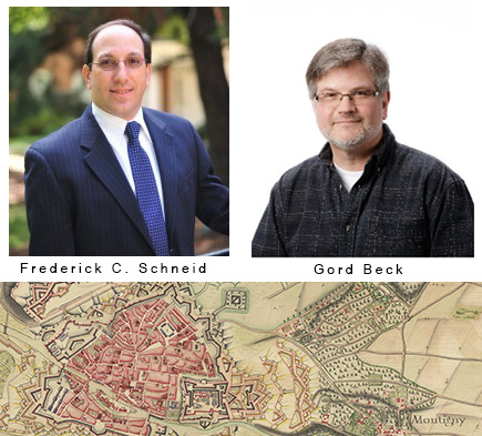
Frederick C. Schneid, High Point University
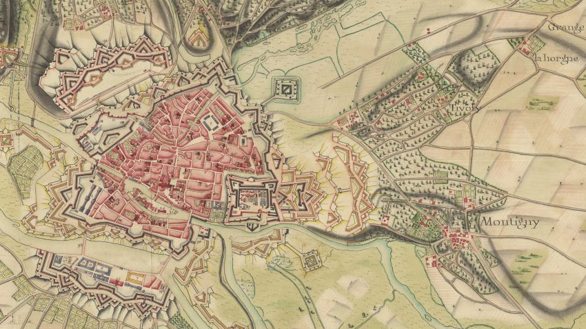
One of Napoleon’s first appointments was as an officer in the Bureau Topographique, responsible for war planning and mapping theaters of war. The development of strategy necessitated proper intelligence gathering, and mapping was perhaps one of its most import tasks. Indeed, Napoleon later demanded up to date maps to determine the deployment and operations of his armies after he became ruler of France. The lecture will explore the relationship between Napoleon, maps and military campaigning in the 18th and early 19th centuries. Included will be a discussion of maps held in the Clifford Map Collection, one of which was presented to Napoleon in recognition of his victory in Italy in 1800.
 Frederick C. Schneid is Herman and Louise Smith Professor of History and Chair of the Department of History at High Point University in North Carolina. He received his PhD from Purdue University, where he studied under eminent military historian Gunther E. Rothenberg. Professor Schneid’s research specialty is French and Italian military history from the French Revolution to the Wars of Italian Unification. He is the author and editor of sixteen books, and numerous book chapters and articles. Among his publications are European Armies of the French Revolution, The French-Piedmontese Campaign of 1859, The Second War of Italian Unification, Napoleon’s Conquest of Europe: The War of the Third Coalition and Napoleon’s Italian Campaigns, 1805-1815. He is currently working on a manuscript on Napoleon’s first Italian campaign and writing two chapters for the forthcoming Cambridge History of the Napoleonic Wars.
Followed by:
Gord Beck, McMaster University
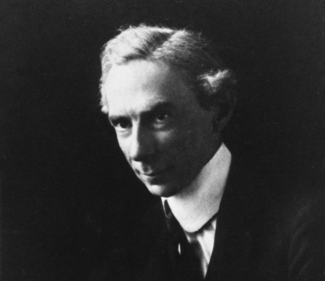
Robert Clifford was the third son of the 4th Lord Clifford of Chudleigh. While serving as an officer in Dillon’s Regiment under Louis XVI of France, he was trained in the most advanced methods of military science and cartography of the age. His knowledge of the inner workings of the French military, coupled with the maps of fortifications he smuggled out of France while narrowly avoiding the guillotine, proved to be of immeasurable value to his English countrymen. His advice was sought by General John Graves Simcoe for the defense of England against a French invasion, and on the formation of a new military college at Sandhurst. Learn the story behind the man, his maps, and how they came to McMaster.
Gord Beck is McMaster University Library’s Map Specialist, and the curator of the Robert Clifford Map Exhibit on view at the McMaster Museum of Art from May 26 through September 1, 2018. He developed his expertise in military cartography over his 20-year period working in the Lloyd Reeds Map Collection, receiving the President’s Award for Outstanding Service in 2014. Gord is a recognized expert in the field of WWI trench maps and aerial photos, and has appeared frequently in the media and as a guest speaker on that topic. He has recently completed two projects with Canadian Geographic involving the creation of a ‘Giant Floor Map of Vimy Ridge,’ and a documentary about mapping and aerial photography in WWI narrated by Dan Aykroyd and entitled, ‘Drawn to Victory.’


